The Copernicus Marine Environment Monitoring Service (CMEMS) distils quality-approved ocean analyses and forecasts from satellite and in-situ observations. Fully operational since 2015 and managed by Mercator Océan International, CMEMS is used daily by a large community worldwide.
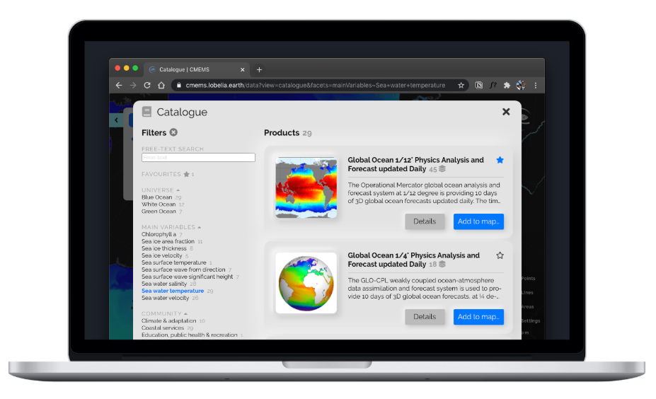
Making CMEMS products more accessible to this community is the goal of the new CMEMS Viewer built by Lobelia. Based on its own TeroMaps mapping engine, the CMEMS Viewer provides multi-projection views for the 3500+ data layers, as well as powerful yet easy-to-use analysis tools.
In the following interactive example, a researcher may quickly discover patterns in sea water temperature in the Kara and Norwegian Seas, thanks to time series, depth profiles and time-depth plots. Feel free to pan-zoom, change time and elevation, or even drag points and vertices:
Discover the CMEMS Viewer’s integrated catalogue, quick-explore feature, multi-projection distance and area measurements, and much more here:
CMEMS Viewer